The GIS Division, within the Information Technology Department, is responsible for the maintenance and distribution of geographic (GIS) data to decision makers and data analysts across the city. The Division is charged with maintaining a robust set of mapable data as well as developing technology to distribute that data for uses across the organization and to its citizens. Various mapping products may be found in Maps under Resident Services.
Geographic Information System (GIS) is a technology for the organization, understanding, analysis, and dissemination of spatial data. Commonly thought of as a fancy term for making maps, GIS goes much farther. It allows for advanced organization, processing, data mining, and interpolation to seek meaning and relationships in geographic data.
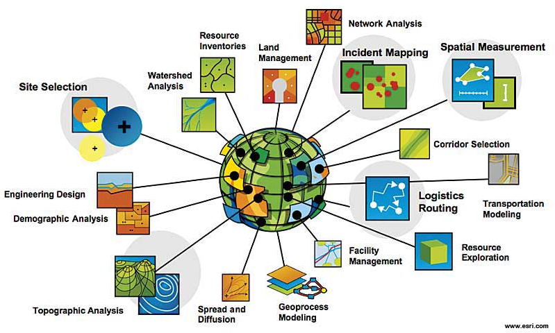 |
GIS is used throughout the City of Auburn, from planning for smart growth to emergency response. GIS aides in engineering and design as well as asset maintenance. It assists departments in developing strategies to appropriately manage their resources.
The IT Department's GIS Division has been recognized regionally as well as internationally for excellence in helping the city achieve its mission in the delivery of quality services created and designed in response to the needs of its citizens. The below organizations have recognized through awards and grants the City's achievements in GIS.